Every hunter, landowner, and outdoor enthusiast knows that success in the field starts with understanding the land. The better you know your property — its terrain, trails, and natural patterns — the more effective your hunting and land management become. That’s where Elite Deer Recovery comes in. Known for our drone deer recovery services across Southern Ohio and surrounding areas, we also offer professional aerial mapping services that give hunters and landowners a complete, high-definition view of their land from above.
Our mapping technology goes beyond traditional scouting. By combining drone precision with outdoor expertise, we deliver detailed maps and data insights that help you plan hunts, manage wildlife, and make smarter land management decisions. Whether you’re fine-tuning stand locations, tracking deer movement, or analyzing habitat layout, Elite Deer Recovery provides “Game-Changing Tools for Serious Hunters.”
See Your Property in a Whole New Way
Our aerial mapping services use high-resolution drone imagery to capture every inch of your land with precision. From rolling hills to dense woodlots, our advanced equipment records detailed visuals that can’t be matched by standard satellite maps or boots-on-the-ground scouting.
These maps give you a bird’s-eye view of your property’s features, including:
- Terrain elevations and slope angles
- Timber and vegetation density
- Access trails, creeks, and water sources
- Food plots and bedding areas
- Property boundaries and entry points
With this data, hunters can plan strategic setups that align with natural deer movement and wind direction. Landowners can evaluate their terrain for improvements like planting, trail building, or erosion control. Hunting clubs can use these visuals to coordinate better access and property use.
Simply put, our aerial mapping gives you the knowledge to make confident decisions — from where to hang your next stand to how to enhance habitat for long-term success.
Turning Data into Strategy
Elite Deer Recovery’s aerial maps aren’t just impressive to look at — they’re powerful tools for decision-making. By layering imagery with topographical data, we help you identify natural funnels, ridgelines, and transition zones that influence wildlife movement.
For serious hunters, this means turning guesswork into precision. You can identify key travel corridors between bedding and feeding areas, spot hidden access routes, and understand how deer are using the property across different seasons.
For landowners and managers, our mapping services offer a blueprint for habitat improvement. Whether you want to design food plots, improve water access, or balance your forest canopy, the insights from our drone mapping give you the foundation to manage your property effectively and sustainably.
This same attention to detail also benefits hunting clubs and larger properties where coordination and planning are essential. Our maps make it easy to share data, assign zones, and plan land use strategies that benefit both hunters and wildlife.
Beyond Mapping: Wildlife Surveys and Deer Recovery
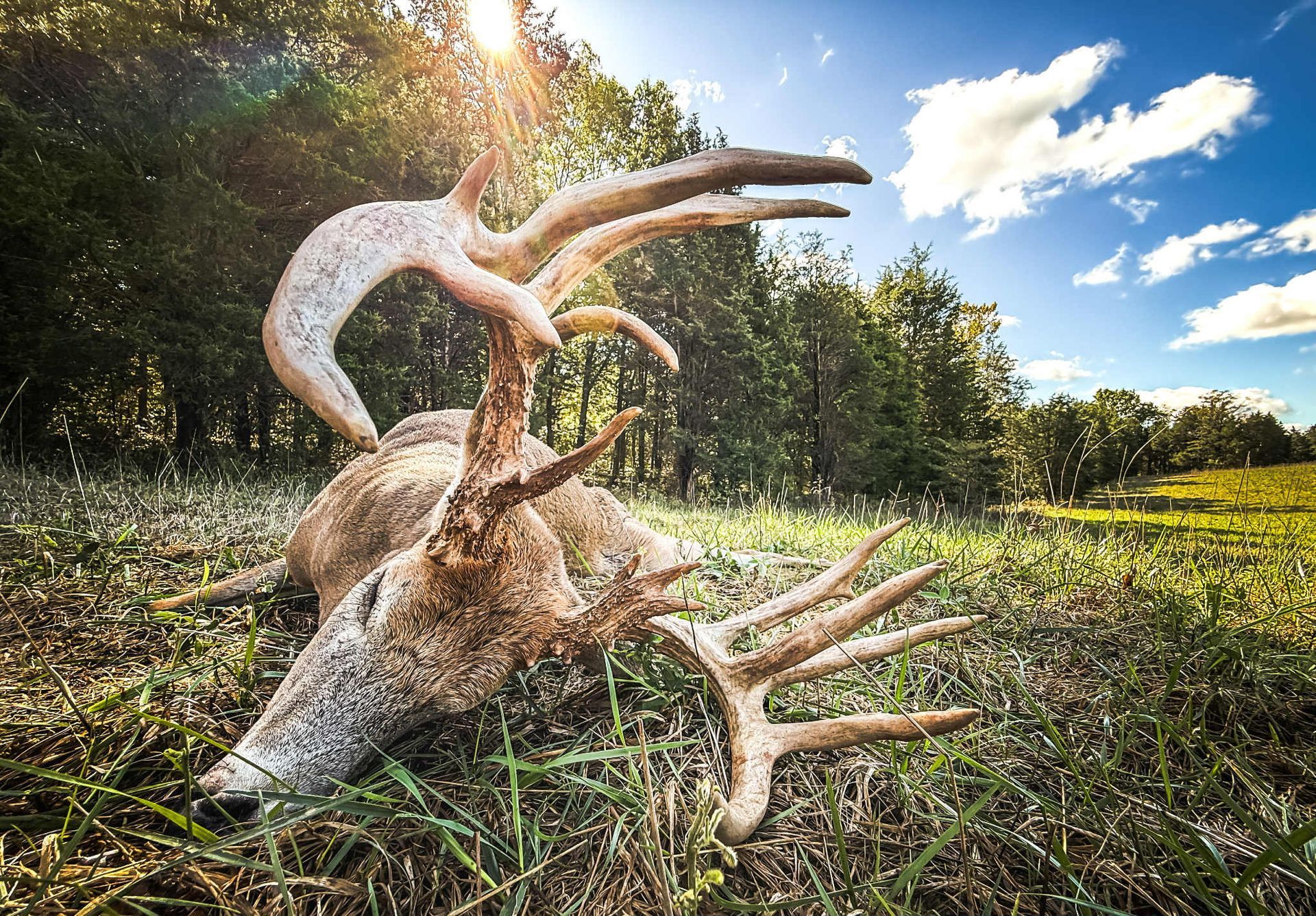
While our aerial mapping services are incredibly valuable, they’re just one part of what makes Elite Deer Recovery a trusted partner for hunters and landowners. We’re best known for our drone deer recovery services — using thermal imaging drones to locate downed deer quickly and ethically across Southern Ohio and nearby areas.
Our thermal drones detect heat signatures with incredible accuracy, allowing us to recover deer in all conditions — even in dense brush, heavy cover, or total darkness. It’s a fast, efficient, and humane approach that’s changing the way hunters handle recovery.
In addition, we offer wildlife surveys that provide deep insights into herd health, movement, and density. These surveys help hunters, landowners, and clubs understand how deer interact with their land, identify population trends, and make more informed management decisions.
Together, our mapping, surveying, and recovery services create a complete picture of your property and its wildlife. You’ll gain valuable knowledge, increase efficiency, and strengthen your connection to the land you manage and hunt.
Why Hunters Trust Elite Deer Recovery
At Elite Deer Recovery, we combine our love for the outdoors with the precision of drone technology. We’re not just drone pilots — we’re hunters who understand the terrain, the challenges, and the respect that ethical hunting demands. Every service we offer is built around accuracy, integrity, and a deep appreciation for wildlife.
We proudly serve Southern Ohio and nearby regions, providing high-quality drone solutions that enhance hunting success and land stewardship. Whether you’re recovering your harvest, mapping your property, or analyzing herd behavior, our team is committed to delivering reliable, professional results.
“Game-Changing Tools for Serious Hunters.”
See the Land. Understand the Wildlife. Plan the Future.
Modern hunters and landowners know that knowledge is power — and there’s no better way to gain that knowledge than by exploring your land from above. With Elite Deer Recovery’s aerial mapping services, you’ll get a clear, detailed understanding of your property that helps you hunt smarter, manage better, and conserve more effectively.
If you’re ready to see your land like never before, contact Elite Deer Recovery today. Whether for aerial mapping, wildlife surveys, or thermal drone deer recovery, we’re here to help you take your outdoor experience to the next level — with precision, professionalism, and passion for the hunt.

